Gunung Rinjani is one of the highest mountains in Indonesia with an altitude of 3.726 m. At the bottom of the crater there is a large lake called Segara Anakan, about 8 km long and 6 km wide. The lake is surrounded by steep walls and is located about 600 meter below the rim of the crater.

Between the lake and Rinjani sits the new crater of Gunung Baru which is only a couple of hundred years old. Rinjani’s latest eruption took place in 1994, when the shape of the crater changed and ash was spread all over Lombok.

Both the Balinese and the Sasak people look upon Gunung Rinjani as sacred. Every year people from Bali come here on a pilgrimage where they bring offerings to the gods and throw valuables into the lake.

Gunung Rinjani is considered to be as important as Gunung Agung. The Sasak’s prefer to walk up here at full moon to show their respect to the mountain and take healing baths in the hot springs northeast of the crater, known as Kokok Putih.
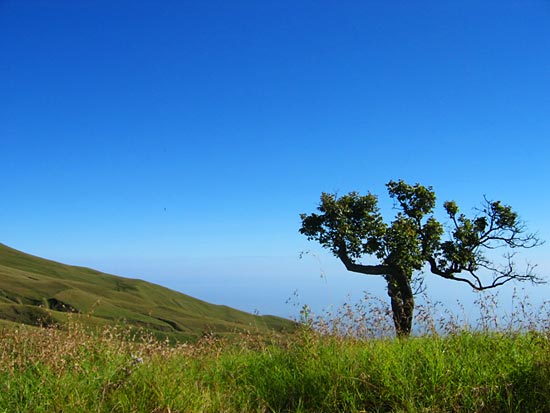
The mountain is a popular destination for trekking, the roundtrip to the top will normally take two to five days. This is far from the easiest mountain in Indonesia to climb, and you should be in a reasonably good shape before you even consider to try. April to October is considered the best period for trekking here, while November to April is not a good time as the paths can be very wet and slippery. You can hire a guide and “sherpa” at one of the starting points, for example the Sapit village on east Lombok.

Most trekkers however prefer to start from Senaru on north Lombok and do the northern route to the top and back again. Here you will find guides who know the area well, and also hire tent, sleeping bag and other necessary equipment. You can also arrange the trip from Mataram or Senggigi, this is easier but to a much higher price. It is also possible to do the trip on your own, but this is only recommended for trained people who are used to trekking.
There are not many facilities on the way, only small sheds. But the reward is said to be great, on the top there is a fantastic view
.